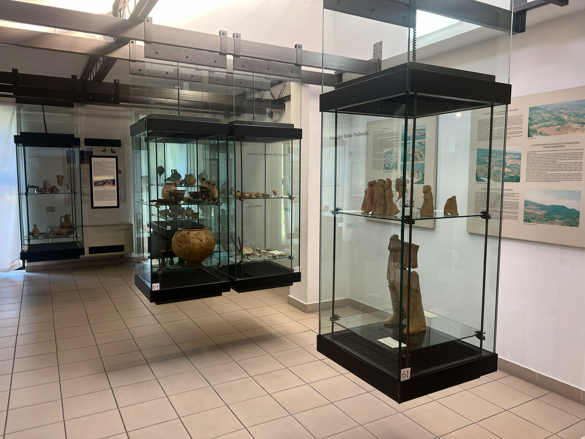
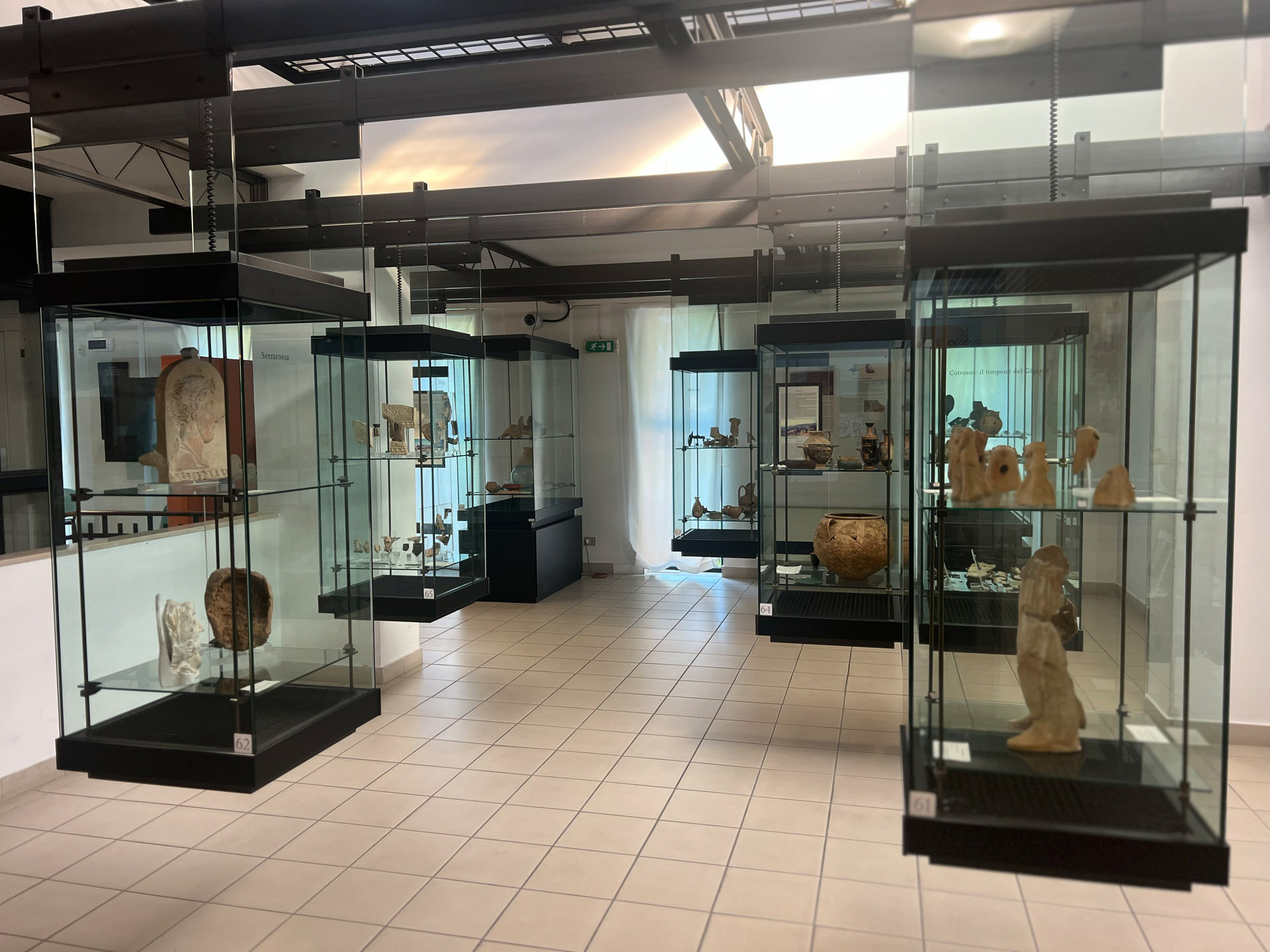
The territory controlled by ancient Kroton, known as the chora, traditionally extended between the middle and lower courses of the Neto River to the north and the Tacina River to the south. Its boundaries reached the coast between Capo Colonna and Le Castella to the east and the foothills of the Sila to the west. However, relations with the indigenous populations inhabiting this vast area made it difficult to define precise borders. The influence of Crotone in fact extended beyond the mouth of the Neto River, reaching the sanctuary of Apollo Aleo at Cirò Marina to the north and the area of Caulonia to the south.
Among the most fertile areas south of the city was the Marchesato, characterized by plains crossed by the Tacina and Esaro rivers, ideal for the cultivation of wheat and cereals. This
... read more >The territory controlled by ancient Kroton, known as the chora, traditionally extended between the middle and lower courses of the Neto River to the north and the Tacina River to the south. Its boundaries reached the coast between Capo Colonna and Le Castella to the east and the foothills of the Sila to the west. However, relations with the indigenous populations inhabiting this vast area made it difficult to define precise borders. The influence of Crotone in fact extended beyond the mouth of the Neto River, reaching the sanctuary of Apollo Aleo at Cirò Marina to the north and the area of Caulonia to the south.
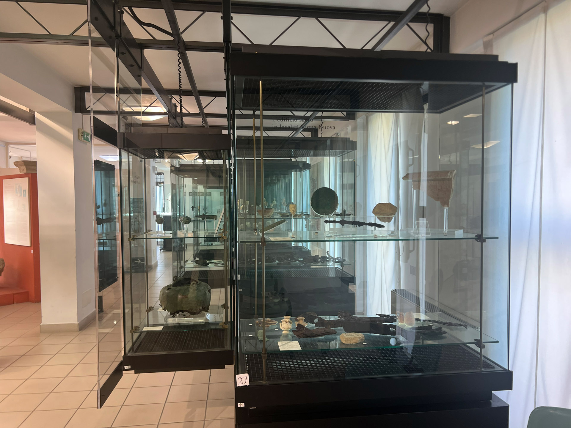
Among the most fertile areas south of the city was the Marchesato, characterized by plains crossed by the Tacina and Esaro rivers, ideal for the cultivation of wheat and cereals. This region most likely corresponded to the kalai arourai, the “fertile lands” promised by the oracle to Myskellos, the founder of the city. The area formed the agricultural heart of Kroton and was already organized by the late 6th century BC into rectangular plots, permanently occupied by farmsteads located near water sources. Excavations have also revealed a 5th-century BC necropolis associated with the rural communities living there, indicating a high social and economic status and customs similar to those of the urban population.
Another key focal point of the territory was the sanctuary of Sant’Anna di Cutro, active from at least the second half of the 7th century BC.
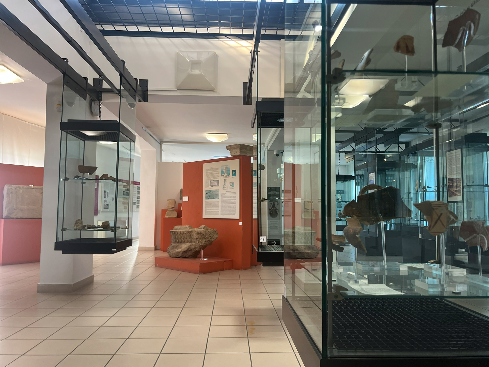
To the north, by contrast, the landscape was dominated by hills and plateaus, such as the Murge of Strongoli, less suitable for agriculture but favorable for livestock breeding and timber production. This area was home to important indigenous settlements frequented since the 1st millennium BC (Iron Age), including Cirò Superiore, Cozzo Leone, and Strongoli, which continued to exist even after the arrival of the Greeks. Archaeological excavations, especially in these areas, document early forms of contact with the Achaean colonists, attested by the presence of pottery and objects of Greek import. From the 6th century BC onward, these interactions intensified, as demonstrated by finds from settlements and sanctuaries, particularly in the sacred area of the Murge of Strongoli.
read less <