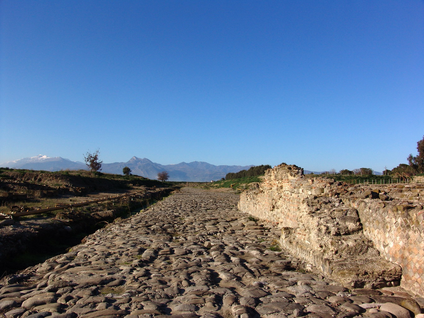
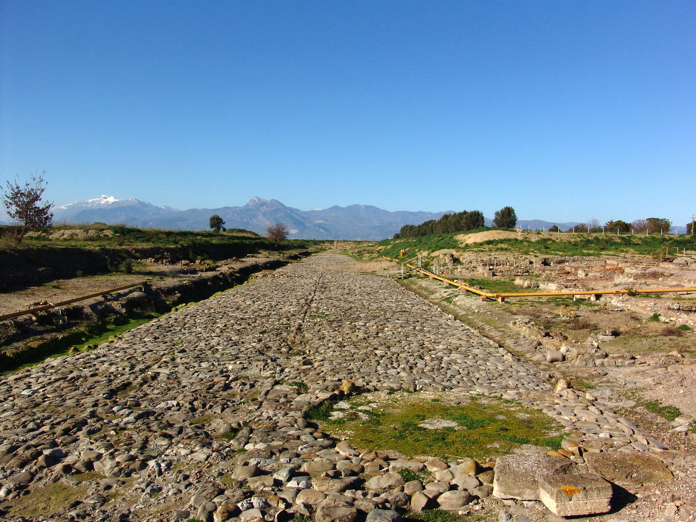
The road system visible today in the archaeological area of Parco del Cavallo dates back to the foundation of Thurii, the Greek colony established in the second half of the 5th century BC (in 444 BC) on the initiative of Athens. The urban layout was designed by the renowned architect and town planner Hippodamus of Miletus, regarded as one of the fathers of ancient urbanism and a proponent of a model of city planning that was orderly, rational, and functional.
What is extraordinary about this grid is that it remained essentially unchanged even after the city was refounded in the Roman period, when the colony of Copiae was established in 194 BC. The Romans respected the original layout, intervening only with maintenance and repaving works, without altering its overall arrangement.
Valuable information
... read more >The road system visible today in the archaeological area of Parco del Cavallo dates back to the foundation of Thurii, the Greek colony established in the second half of the 5th century BC (in 444 BC) on the initiative of Athens. The urban layout was designed by the renowned architect and town planner Hippodamus of Miletus, regarded as one of the fathers of ancient urbanism and a proponent of a model of city planning that was orderly, rational, and functional.
What is extraordinary about this grid is that it remained essentially unchanged even after the city was refounded in the Roman period, when the colony of Copiae was established in 194 BC. The Romans respected the original layout, intervening only with maintenance and repaving works, without altering its overall arrangement.
Valuable information about the road network is provided by the historian Diodorus Siculus, who in the 1st century BC described the organization of the Greek-period street grid: four main longitudinal streets and three transverse ones. The major streets bore the names of deities—Herakleia, Aphrodisia, Olympiàs, and Dionysiàs—while the transverse streets were called Heroa, Thouria, and Thourina, perhaps referring to local heroes or to the city itself.
In the area that can be visited today, two of these road axes are still accessible. The first, known as plateia B, runs on an east–west orientation and is characterized by a well-preserved straight course. Near the baths it intersects a second major axis, plateia A, which runs from north to south and leads to the North Gate, one of the city’s main entrances.
These wide, paved streets were not merely routes of circulation: they formed the backbone of the urban fabric, around which houses, public buildings, commercial spaces, and sacred areas were organized. Their preservation to this day tells the story of the long duration and continuity of urban life at a site that, from Thurii to Copiae, maintained its structure intact for approximately ten centuries.
read less <